The Land

Eastern Washington's landscape of wheat fields has been shaped by glaciers, volcanos, floods and wind.

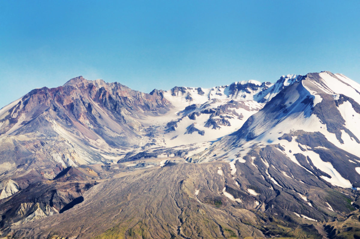
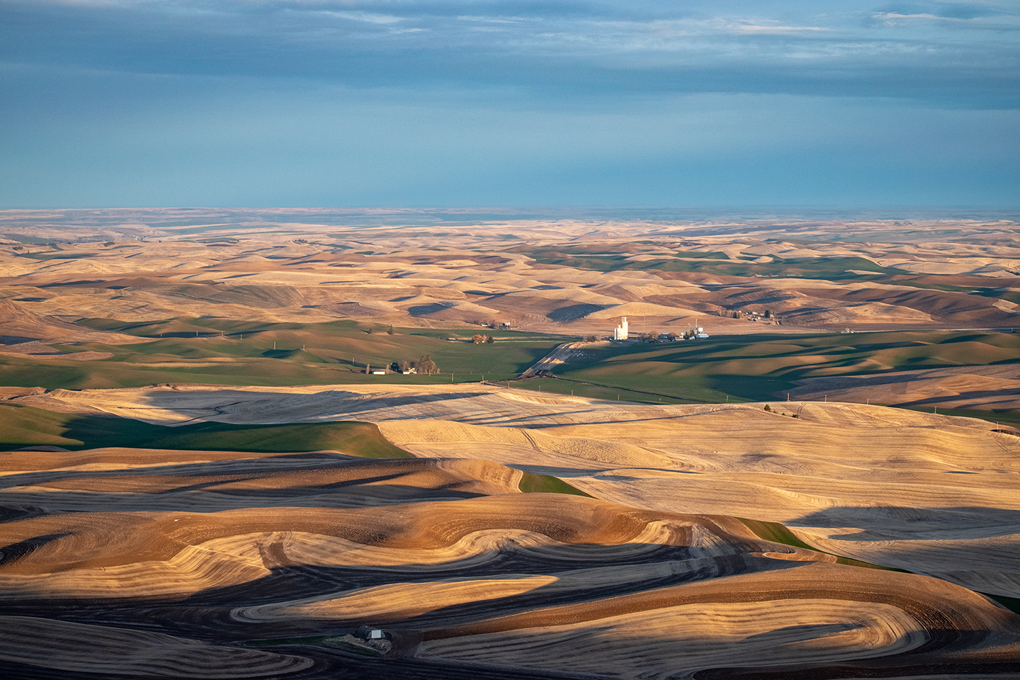
On the Waterville Plateau, wheat fields are rocky and populated by glacial erratics–massive rocks–dropped when glaciers melted a millennia ago. Erupting volcanoes, particularly the ash from the eruption of Mount Mazama 7,700 years ago, was a major contributor to the deep soils of the Palouse. Mount St. Helen’s eruption in Western Washington in 1980 added to the accumulation.
Closeup view of mount saint helen

Approximately 15,000 years ago, the great Lake Missoula floods began.

Lake Missoula covered much of western Montana. A cold climate created an ice dam allowing the lake to fill, followed by warming weather which caused the plug to melt and walls of water to scour much of the Eastern Washington landscape. This happened several times causing enormous amounts of erosion and leaving millions of tons of sediment at the confluence of what is now the Snake/Columbia Rivers. Over thousands of years, this sediment was picked up by the wind and blown east, contributing to the rolling hills of the Palouse.
Scroll to Top